
 ITA
ITA  ENG
ENG  DEU
DEU Find lodging near the trail!
Route video - Satellite view
Route description
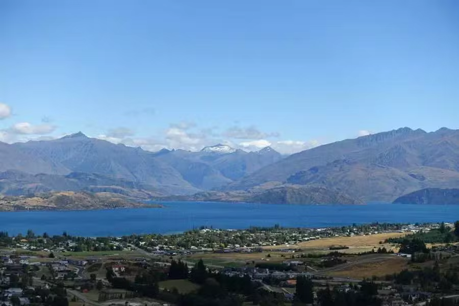
Mount Iron is just a hill in front of Wanaka city (and Wanaka lake also), a suitable place both for tourists (looking for scenic pictures)and runners (up and down on its slopes).
For us, it was a relaxing end-of-vacation walk, our last easy hike before coming back to Italy. 150 km walking and 2500 km driving.
Short description of the path: leave the car at the parking lot or just walk from the city as we did to reach the starting point. Wanaka lake panorama widens as you get higher on the path, as well as the surrounding mounts. From the top of the hill is also possible to see the Hawea lake and some flatlands around the city./BThe descent is along a peaceful path leading us back to the starting point.
More info: Mount Iron Track on the DOC web site
For us, it was a relaxing end-of-vacation walk, our last easy hike before coming back to Italy. 150 km walking and 2500 km driving.
Short description of the path: leave the car at the parking lot or just walk from the city as we did to reach the starting point. Wanaka lake panorama widens as you get higher on the path, as well as the surrounding mounts. From the top of the hill is also possible to see the Hawea lake and some flatlands around the city./BThe descent is along a peaceful path leading us back to the starting point.
More info: Mount Iron Track on the DOC web site
Route info
Points of interest: Mount Iron, Wanaka lake scenic view,
Difficulty level: medium-low
Elevation gain: 220 m
Maximum elevation: 540 m
Trail length: 540 m
Estimated time: 1-2 hours
Recommended season: Spring-Summer
Difficulty level: medium-low
Elevation gain: 220 m
Maximum elevation: 540 m
Trail length: 540 m
Estimated time: 1-2 hours
Recommended season: Spring-Summer
Route map
Route elevation profile
Route pictures


