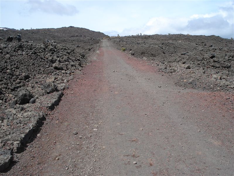
Altomontana path is a unique trail on mount Etna. It's a wide, easy to walk path, at an average height of 1700 meter above sea level, more than 35 km long , drawing a half-circle around mount Etna from north-east (departure from Ragabo/Brunek refuges) to south-west side (arrive at Ariel refuge). Obvioulsy, you can cross it in both directions. Walking on this track means totally go inside the nature and the story of mount Etna, in a travel between stone forests, caves, old craters, woods and magma desert.
Due to its length, we suggest to walk through it in two days, sleeping in a tent close to one of the many refuge on the path. Both the starting points are not reachable using publig trasportation (as usual on mount Etna), so you need two cars in order to cross it: leave the first car at one of the two extremes, with the other car go to the other end, then walk on the path.
You can use the bike and cross it in just one day, we suggest to use two cars even if you cycle the path, unless you are so trained you can make return trip in the same day (70 km long) or to complete a whole mount Etna round trip on asphalted roads to go back at your starting point, it more then other 60 km with 1000 meters difference in height, suitable only for really trained.
Theoretically, there's a solution without cars, using bike in one or two days: put you bike inside the bus going from Catania to Sapienza refuge; here you can descend to Ariel refuge and cross the path heading Brunek/Ragabo refuges. Here you can sleep and than coming back in the next day, or you can close the circle rising towards the Citelli refuge (10 more km rising asphalted road) and then coming back to Catania through Zafferana, Viagrande and so on.
If you want just have a picnic or reach one of the refuges, here we are with all the distances so that you can plan your trip at your best:
- Beginning - Lamponi grotto: 5,7 km
- Lamponi Grotto - Santa Maria refuge: 2 km
- Santa Maria refuge - Mount Spagnolo refuge: 4,6 km
- Mount Spagnolo refuge - Mount Scavo refuge: 9,4 km
- Mount Scavo refuge - Mount Palestro refuge: 4 km
- Mount Palestro refuge - Galvarina refuge: 1,6 km
- Galvarina refuge - San Giovanni Gualberto refuge: 4,2 km
- San Giovanni Gualberto refuge - Ariel refuge: 2,2 km
The length is nearly 35 km, you have also to include 2 more km from Ragabo/Brunek refuges to the departing point.
Unfortunaltely, almost all refuges are closed and is not possible to use them for night accomodation. The only opened refuges we found are:
- Galvarina
- Mount Scavo
Some times (new years eve, 15th august...) the Forest Guards opens more refuges, anyway don't rely on this, bring always the tent with yourself unless you want to use just a sleepy bag. Here you can download the whole track in GPX/KML extensions, but you can also download single sections going on the single section pages, looking at pictures and descriptions. Here you can find the whole map and altitude chart, drawn starting from Ragabo/Brunek refuges.
Point of interest: Altomontana track
Difficulty: high
Difference in height: 1400 m
Maximum height: 2000 m
Length: 35 km
Duration of journey: 8 - 12 hours
Suggested season: spring - autumn
Technical equipment