Update 2017: Scala Cruci path is currently closed for security reasons. The best option to descent inside the nature reserve is currently the following path (only italian language with automatic translate):
http://www.cavagrandedelcassibile.it/prisatimpacatona.asp
Cavagrande del Cassibile is undoubtedly one of the most beautiful places you can find in Sicily. In order to get there you have to go towards Avola (SR) and then towards Avola Antica. We suggest you stopping in Avola to try an almond-flavoured granita (Avola is the City of Almonds). Summer is surely the best season to go there. The excursion can be limited to the descent to the beautiful main lakes, which can be found at the end of the canyon, or can be extended to the exploration of the secondary lakes, making it an incredible experience that deserves to be tried. In this case you will need:- Adeguate training
-Ability to adapt
-Shoes and knee-guards to ascend the river
Whatever excursion you want to do, you’d better bring with you water and food, since there are no shops down the quarry. At first we went to the main lakes for a few hours, and then we moved to the secondary lakes.
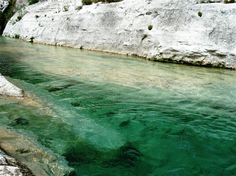
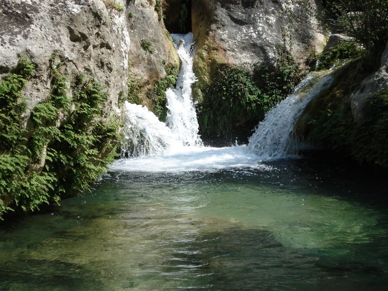
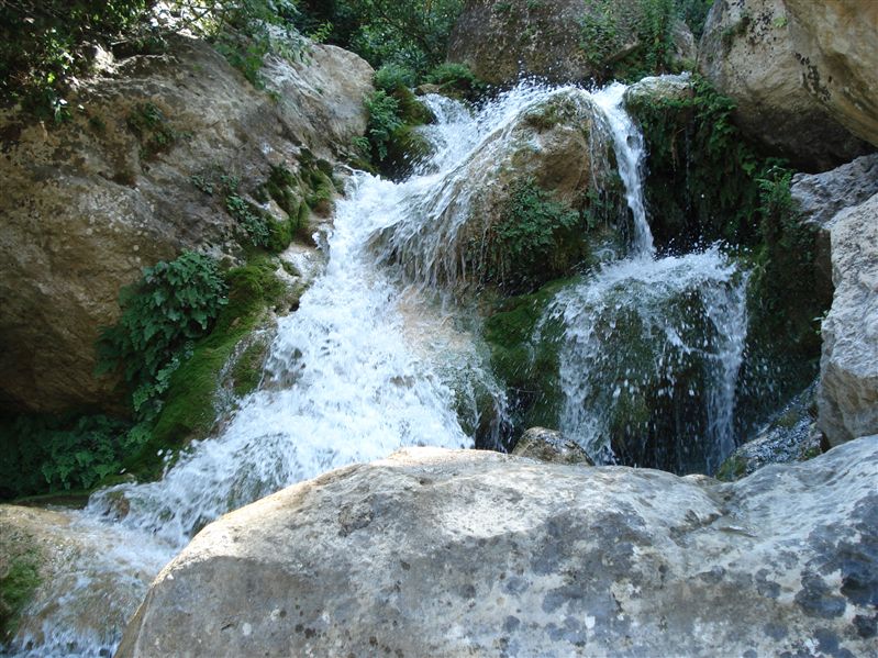
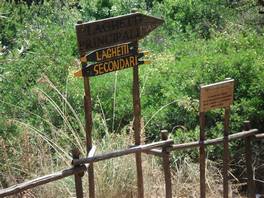
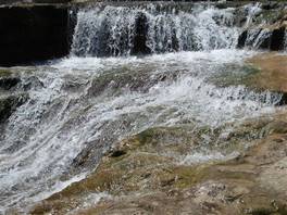
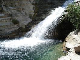
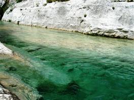
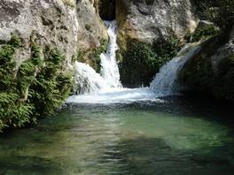
THE MAIN LAKES
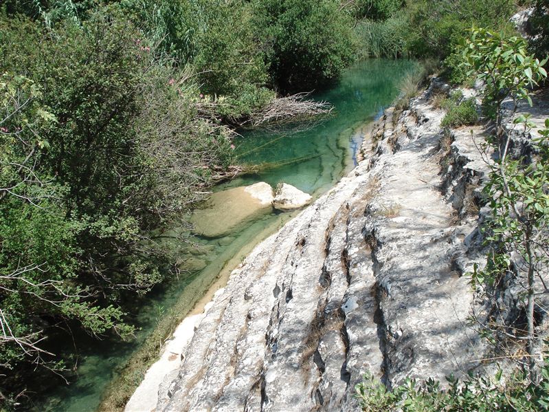
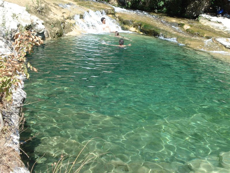
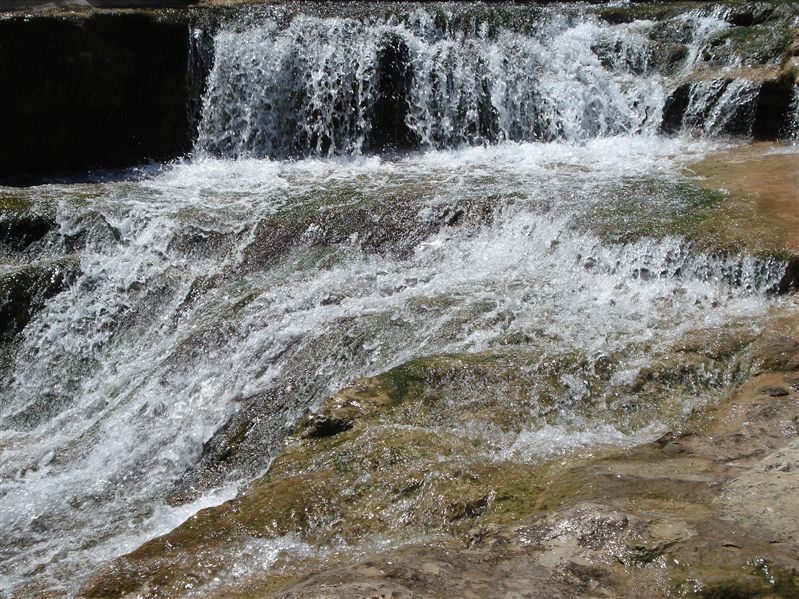
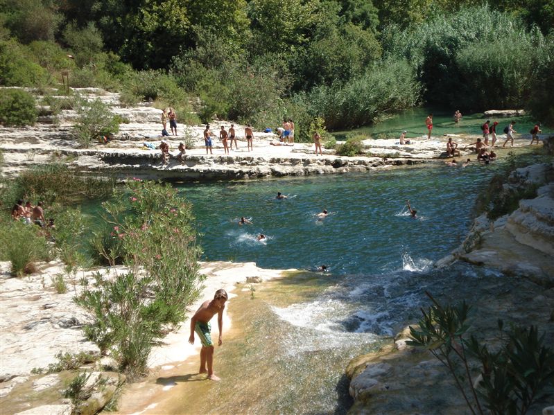
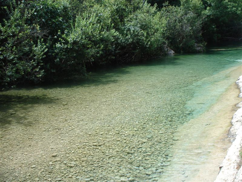
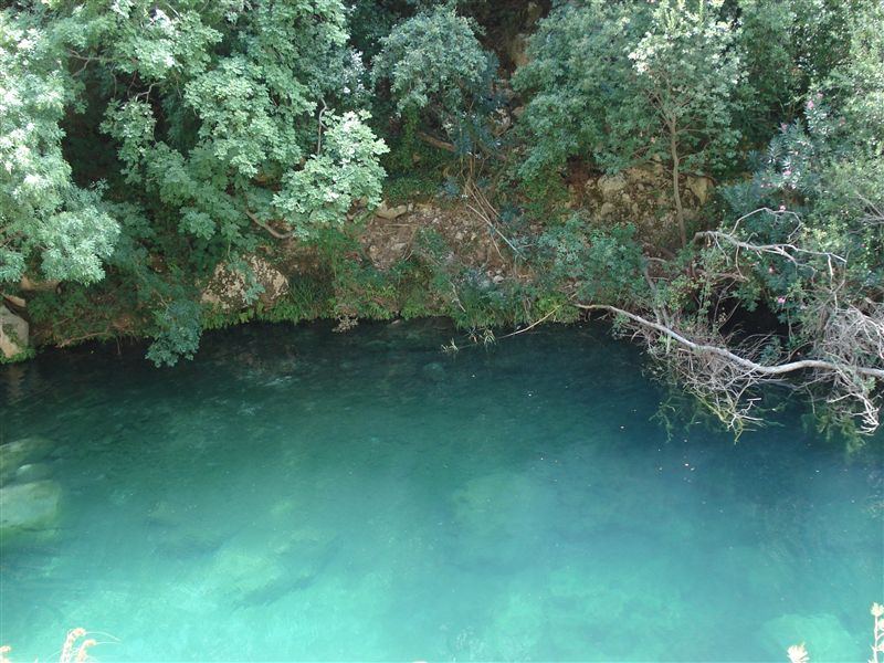
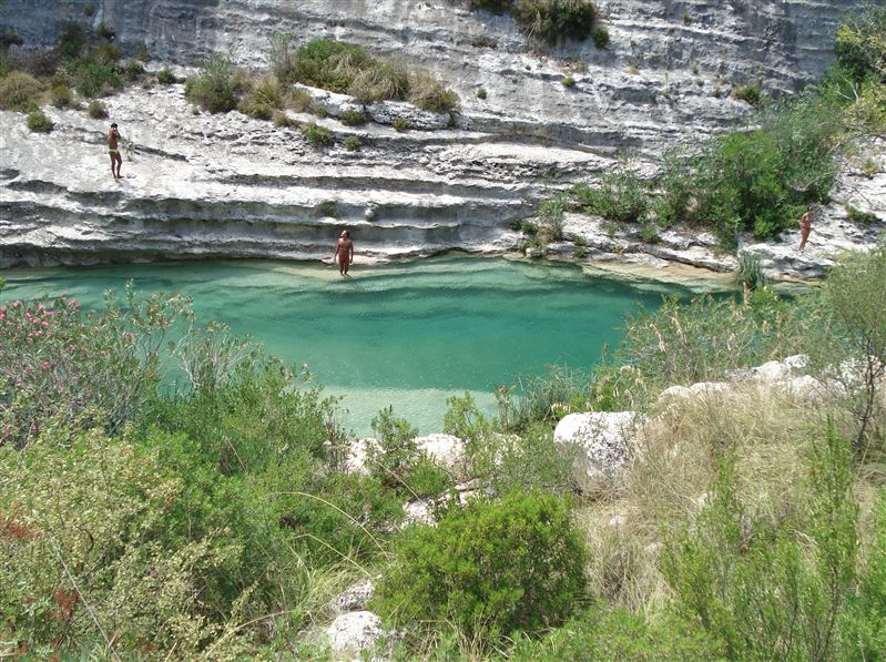
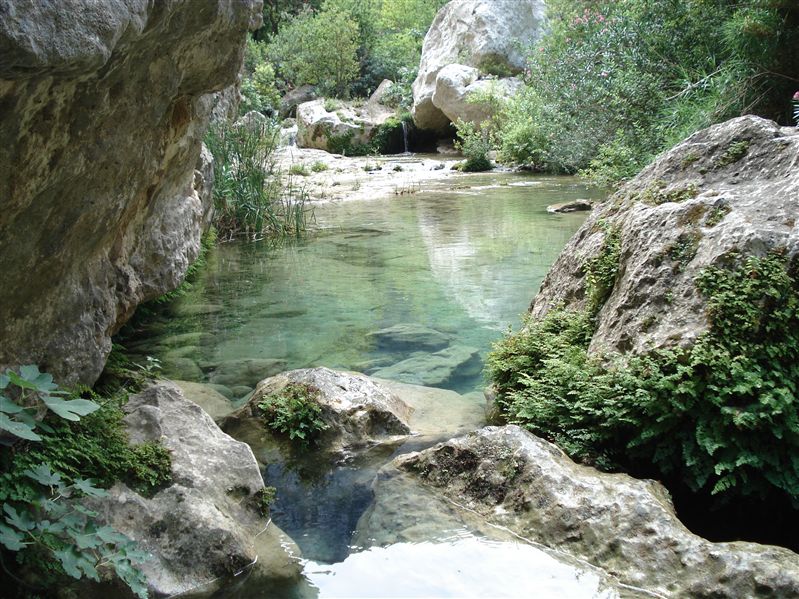
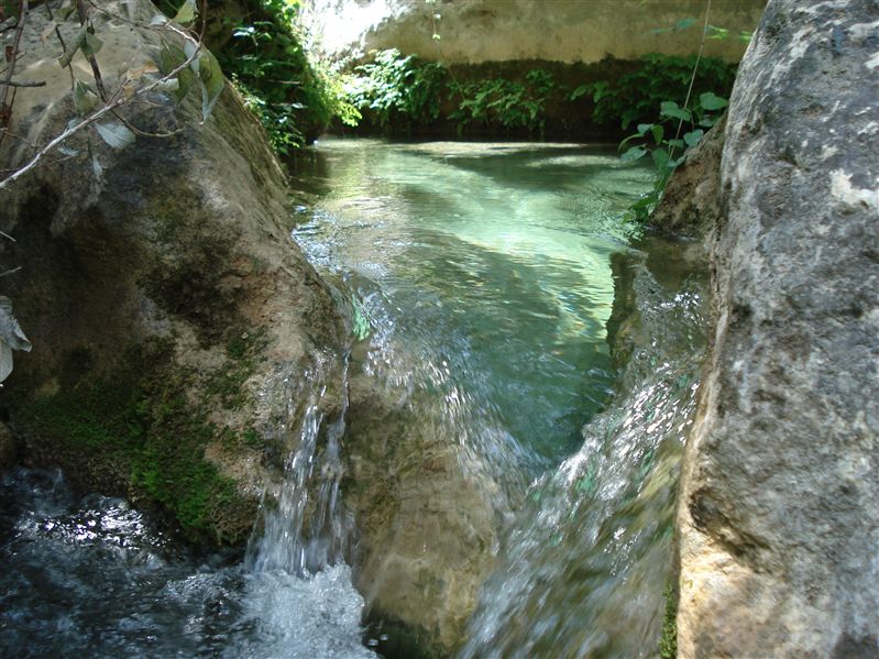
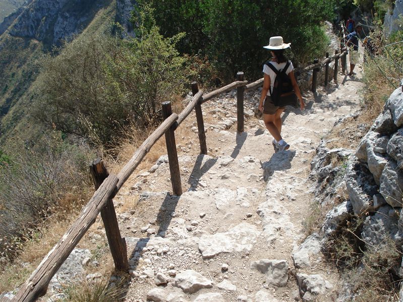
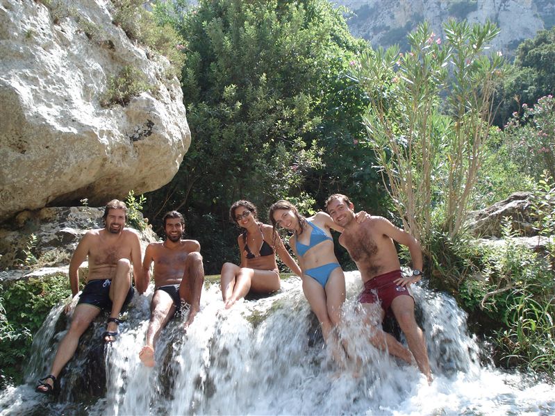
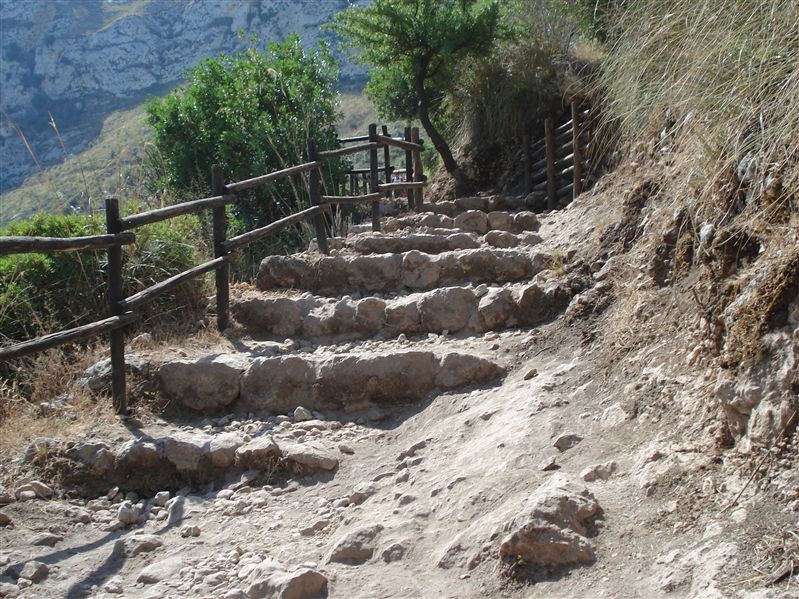
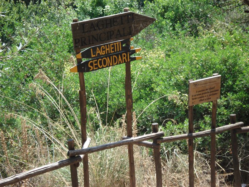
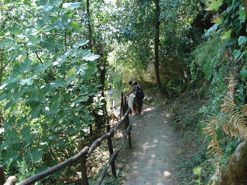
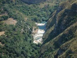
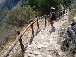
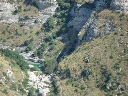
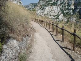
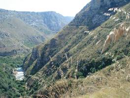
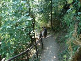
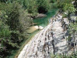
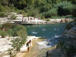
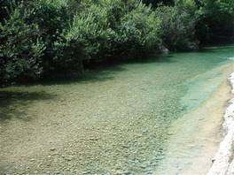
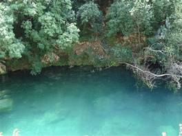
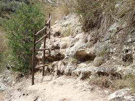
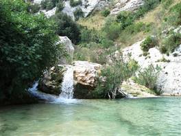
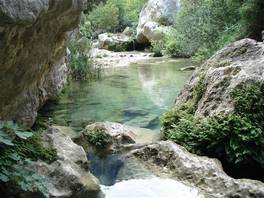
The discent starts at the belvedere, from which it is possible to see the lakes deep into the vegetation. With the zoom we can catch a glimpse of the fantastic view we are about to see. At the belvedere starts the descent along steps made of stone. After a few bends you can see the secondary lakes. We keep on walking along the path, stopping every now and then to observe the view. Just before we reach the main lakes we meet the fork to the secondary lakes. At the moment we go to the right. The vicinity of the river reinvigorates the vegatation and suddenly we see the first part of it, still immersed into the vegetation, with the reflections of the plants giving rise to unique colours. And finally here there are the lakes where it is possible to refresh yourself at the end of the decent. Here it is a mix of natural ponds, water rivers, waterfalls and other surprises. After a few hours we realise that many people have arrived and we decide to leave the main lakes to go towards the secondary lakes.


THE SECONDARY LAKES
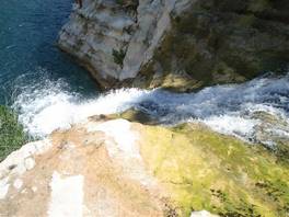
If you decide to climb up the lakes, we recommend that you are very careful, since a small accident could have serious consequences. At the main lakes is full of tourists and sometimes there is a guard that will call the helicopter in case of emergency, but at the secondary lakes there’s no guard and no reception for your mobiles, so every problem can become significant. DO NEVER GO ALONE and if possible keep someone informed of your destination
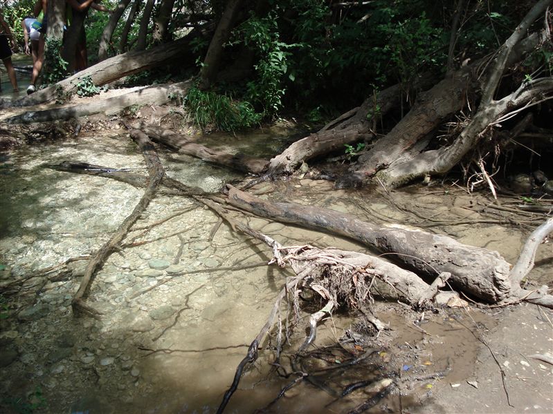
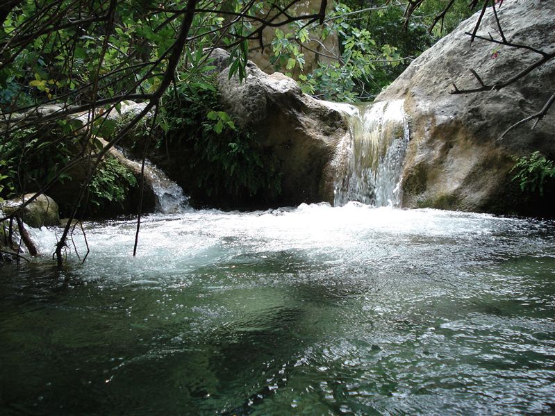
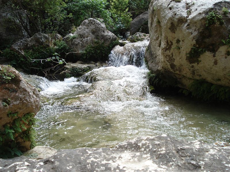
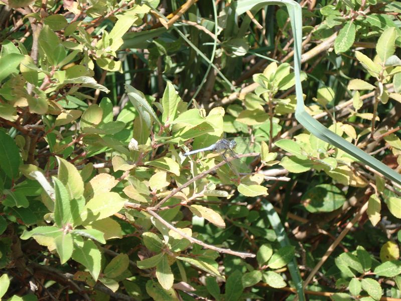
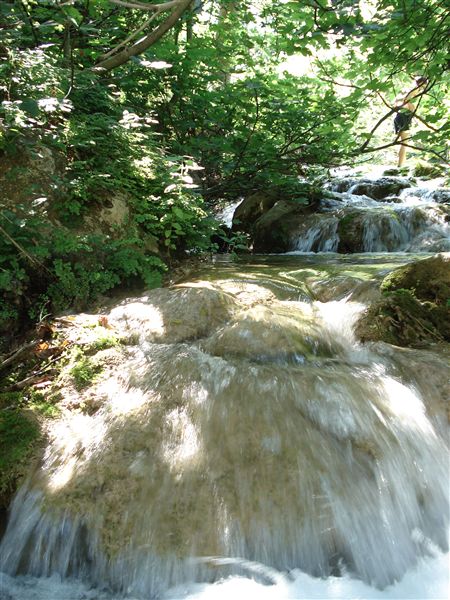
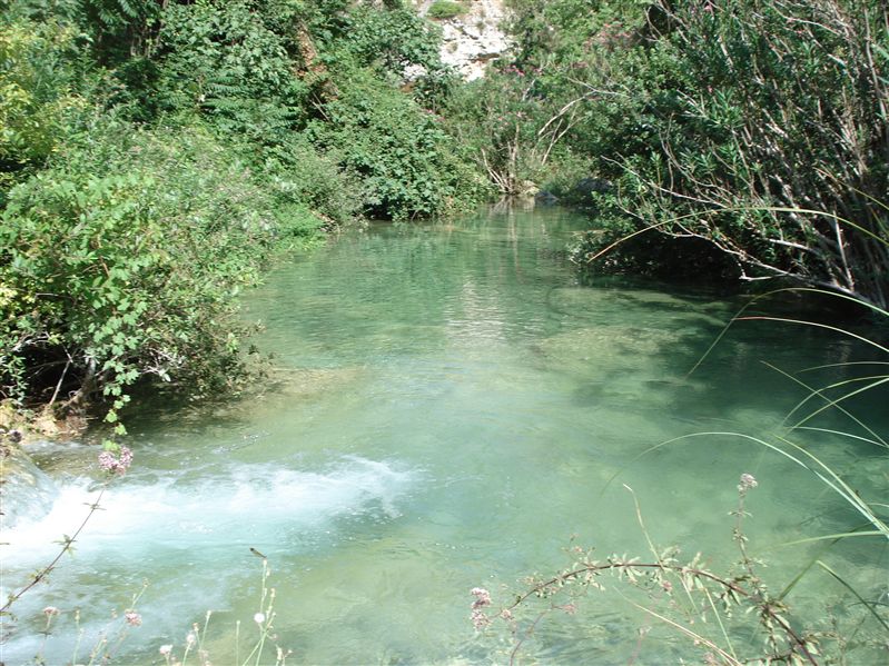
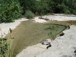
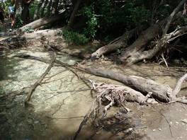
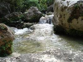
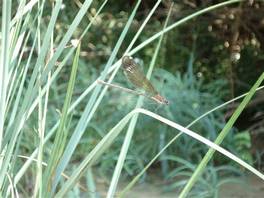
We go back to the fork we saw earlier. We cross the river walking on tree trunks and we walk next to a series of lakes of amazing colours. A piece of wooden fence indicates that you need to climb up the steps on the right and keep on going. After a few metres we finally get to the point from which is no longer possible to continue with backpacks unless they were waterproof. We leave everything there and we start to climb up the river. From this point on, it is impossible to describe everything we have encountered. You have to go there to see with your eyes the water flows, the lakes, the rapids, the dragonflies, the waterfalls e and much more.

We climbed up the river for about 1,5 km, covering a difference in height of about 40-50 metres, after that we started going back If you want to know more about it:

It is possible to download the pictures that describe the track, together with many other pictures if you go in the area reserved to registered users.
Point of interest: Cavagrande lakes
Difficulty: medium
Difference in height: 300 m
Maximum height: 550 m
Length: 3 - 5 km
Duration of journey: 2 - 3 hours
Suggested season: summer
Technical equipment : recommended both hiking and aqua shoes
Difficulty: medium
Difference in height: 300 m
Maximum height: 550 m
Length: 3 - 5 km
Duration of journey: 2 - 3 hours
Suggested season: summer
Technical equipment