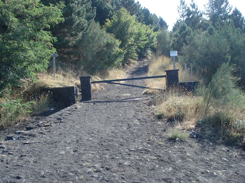
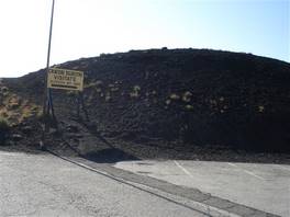
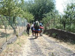
We leave around 9 am from Rifugio Sapienza. We see the "Montagnola" and we start the descent along the asphalted road, walking next to the "crateri Silvestri" until we get to the start of the path "Schiena dell'Asino" litterally "Donkey's back".

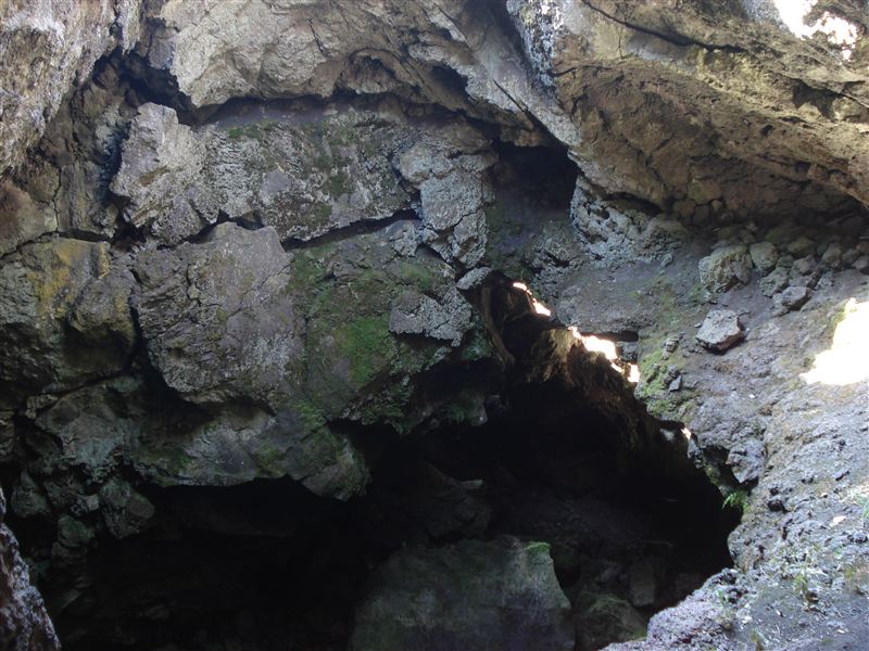
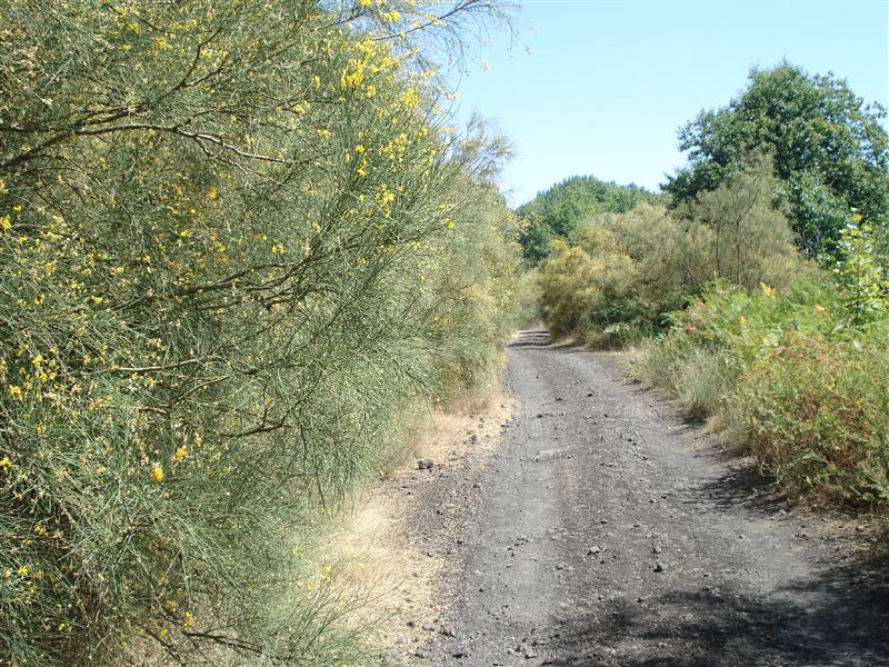
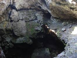
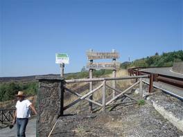
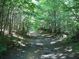
First short stop to see the "Grotta del Vescovo" which is nearby the refuge that carries the same name, but you can explore it only if you have speleological equipment. We leave the asphalted road when we reach the area "Case del Vescovo" (starting point of the path "Acqua Rocca degli Zappini"), turning to the left to walk along the track that among beech trees, chestnuts e brooms leads us to the starting point of the path Monte Zoccolaro, where we can have a look at the valle del bove without the need to go any higher.
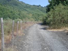
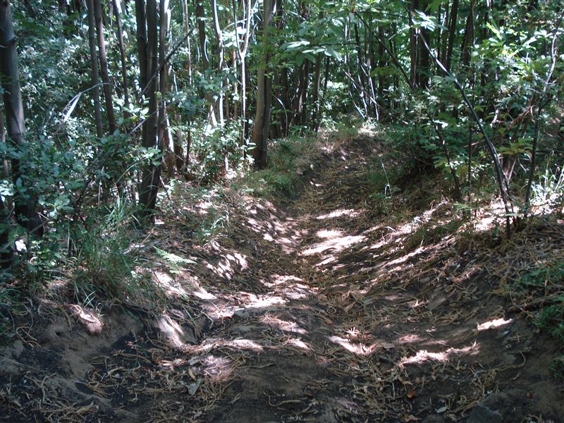
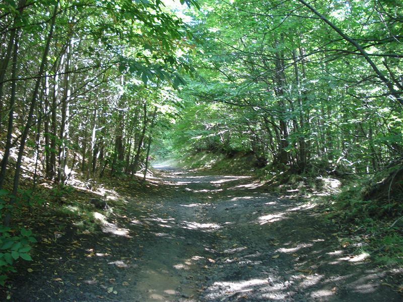
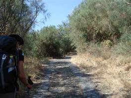
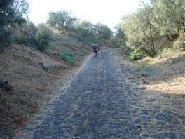
Then we start walking again on the asphalted street, going down until on the left we take the steep "scalazza" stairway. The path leads to a wood, on a path in very bad conditions, it would be easier to walk past this from bottom to top. At the end of the descent we get to Piano dell'Acqua, where we have lunch. This is the lowest point of our walk: so far, we have walked for 14 km and we have gone down by 1200 metres from where we started.

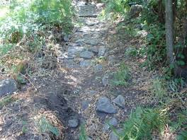
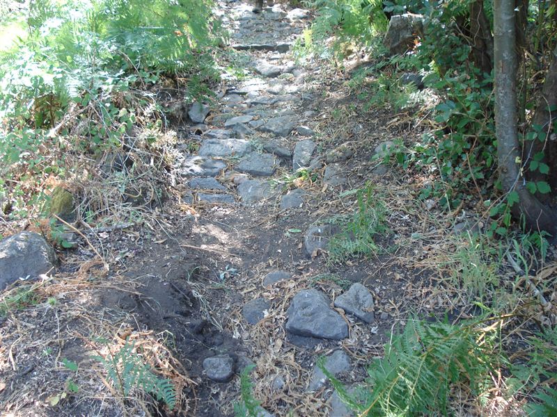
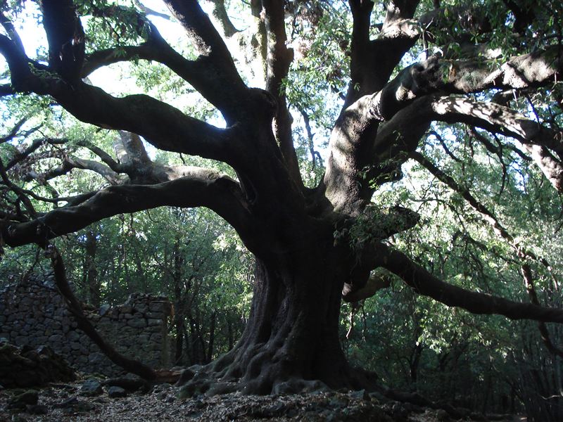
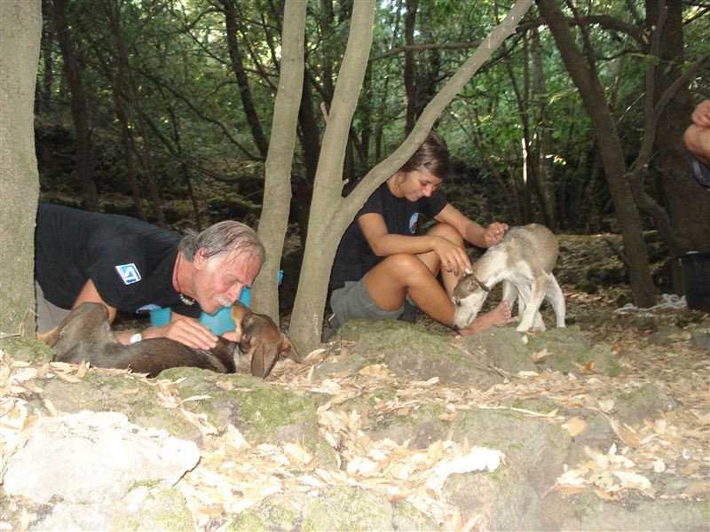
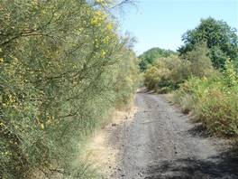
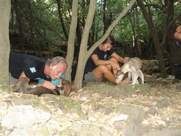
From here we follow this path with stones which takes us to the val Calanna, until we turn right to follow another path that leads to the "Ilice di Carrinu", the biggest oak on Mount Etna. Short break to play with a few dogs that have followed us since "Piano dell'Acqua" and that will stay with us for the whole day, 16 km! We leave this variety of oak to go to Piano Bello, where we stop for the last time. We are on the eastern side and the sun starts to set behind Etna, we have to speed up.
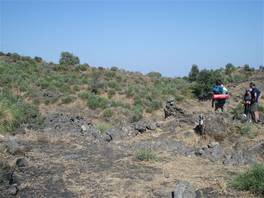
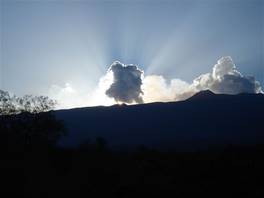
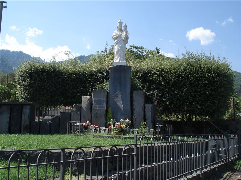
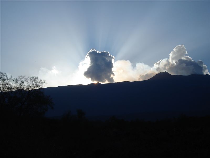
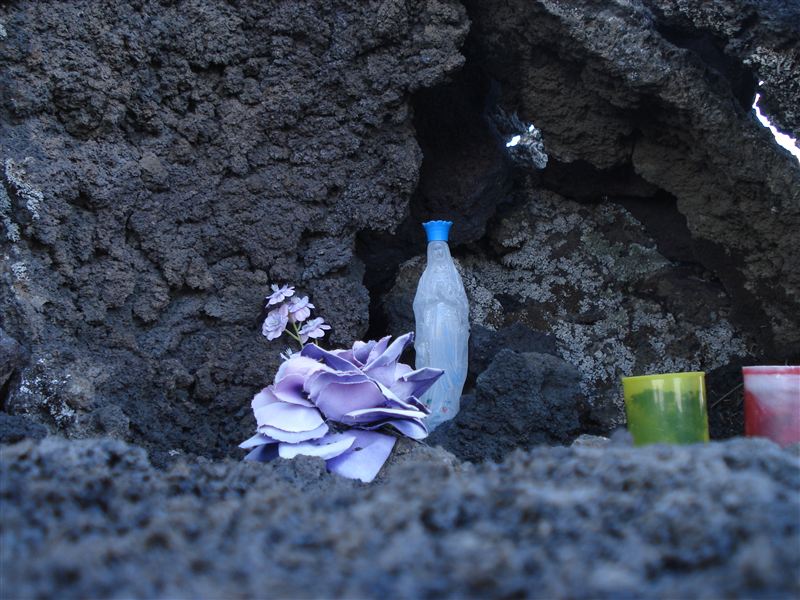
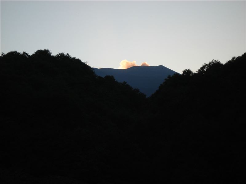
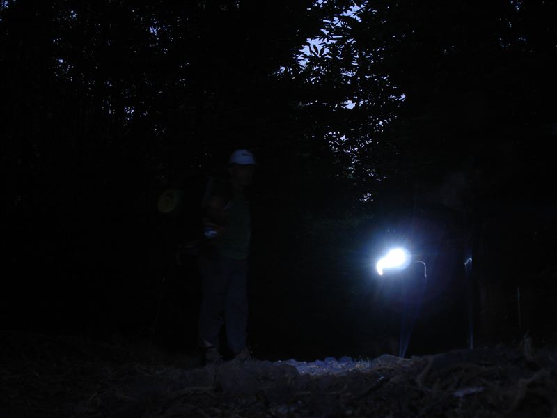
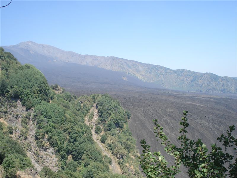
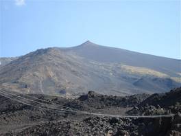
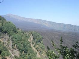
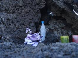
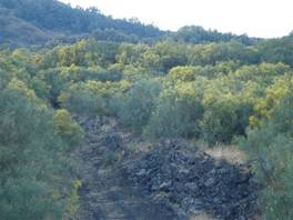
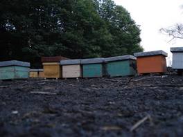
From here we walk past a lavic rocks area, and we stop for a few seconds for some pictures: a small altar, the brooms and the the smoky pink of the sunset from the central crater. Following the track we get to Monte Fontane; we go down towards the Case di Pietracannone, still 6 km to go and even the bees are already asleep, it is clear that we'll have to use the torchlights.

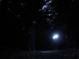
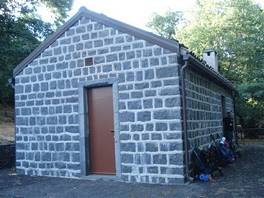
Finally we get to the Refuge...it is dark and I don't feel like setting up the tent. The forest rangers have made us a fantastic surprise: they have prepared a nice dinner for us! In the end I will sleep on one of the tables, or better I will try to sleep, because we are in the hottest day of the year and even at 1300 m height mosquitos do not give us a break. To make it short: after walking for a total of 30 km, 12 hours with the backpack on my shoulders, 2300 meters of difference of height, I can't manage to get some sleep... I will make the most of it and enjoy the sunrise!
Difficulty: high
Difference in height: 2250 m
Maximum height: 1900 m
Length: 30 km
Duration of journey: 8 - 12 hours
Suggested season: spring
Technical equipment