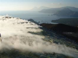
The island of Vulcano, part of the Eolian Islands, is famous for its sulphurous muds, for its black sand beaches and for the thermal springs in the open sea. All of this is the result of the real protagonist of the island: Volcano. The excursion that brings you to the top is pretty easy. There is a small difference in height and the highest altitude you reach is 400metres above sea level. However, if you want to make the most of it you should consider a few details.
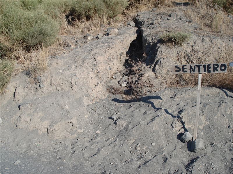
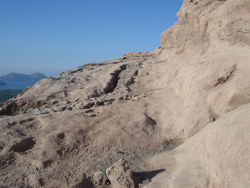
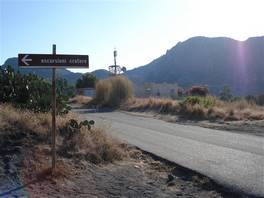
The beginning of the path is situated on the street that leads from the harbour to Piano di Vulcano. After a few hundred metres, on the left there is a sign for the path that goes to the top . The path is wide and easy to walk through, the few forks are clearly indicated
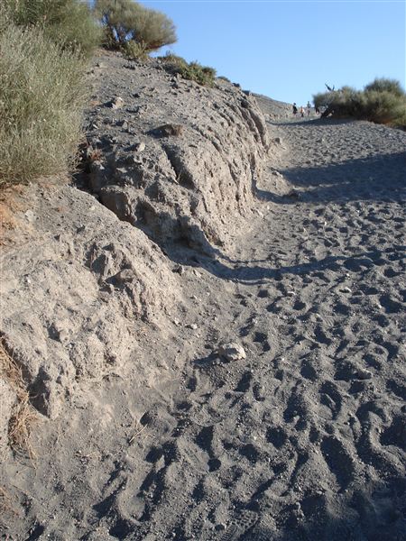
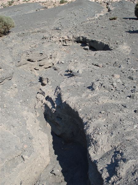
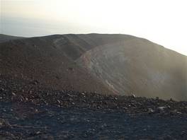
We continue towards the top and we find out that the path we are walking through did not exist until 1984. That year, because the walls of the old path were about to collapse, it was created with excavators. This path was not made to a high standard and this resulted in rain water channels. In just a few years these channels have turned into deeper chasms along the sides of the crater. The sides of the volcano are now really crumbling, like pressed ashes. Another bad idea was placing rocks along the path to make following the path easier. This has just helped the water to excavate channels along the crater.

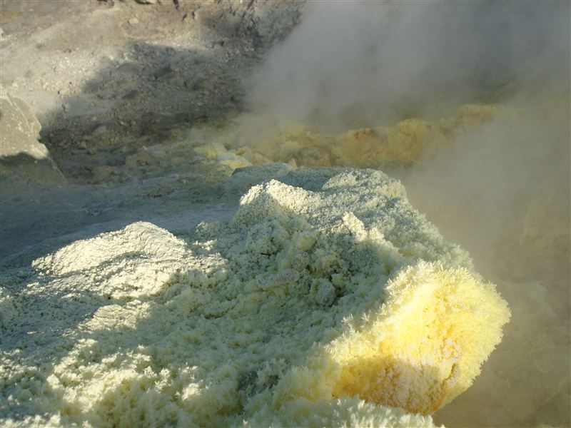
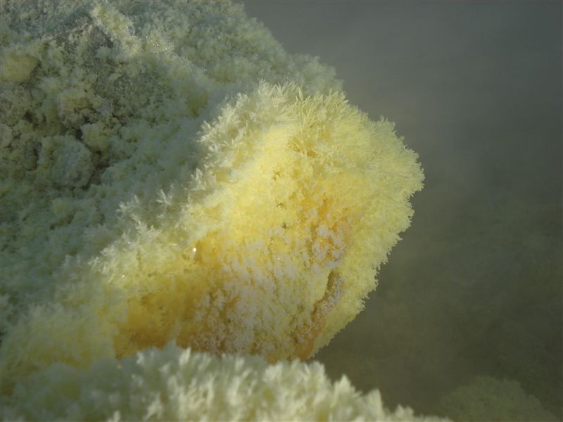
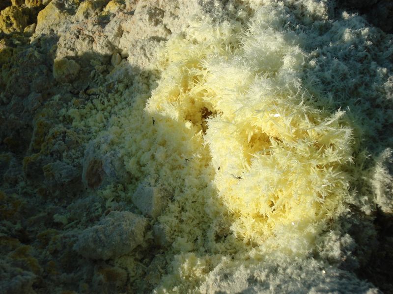
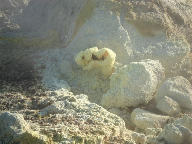
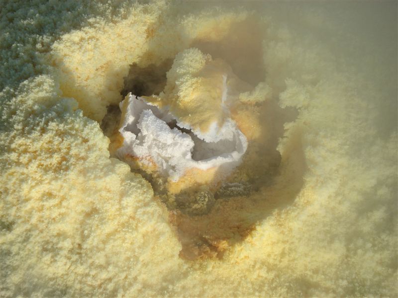
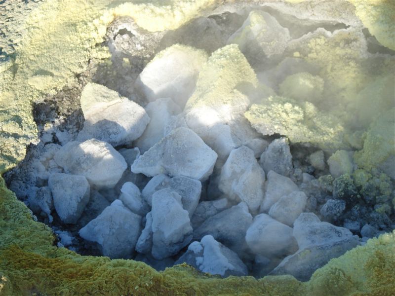
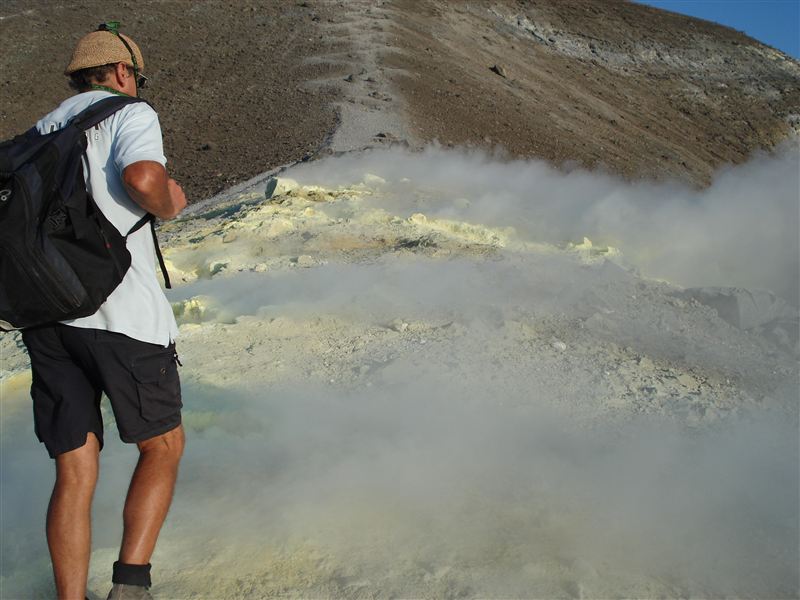
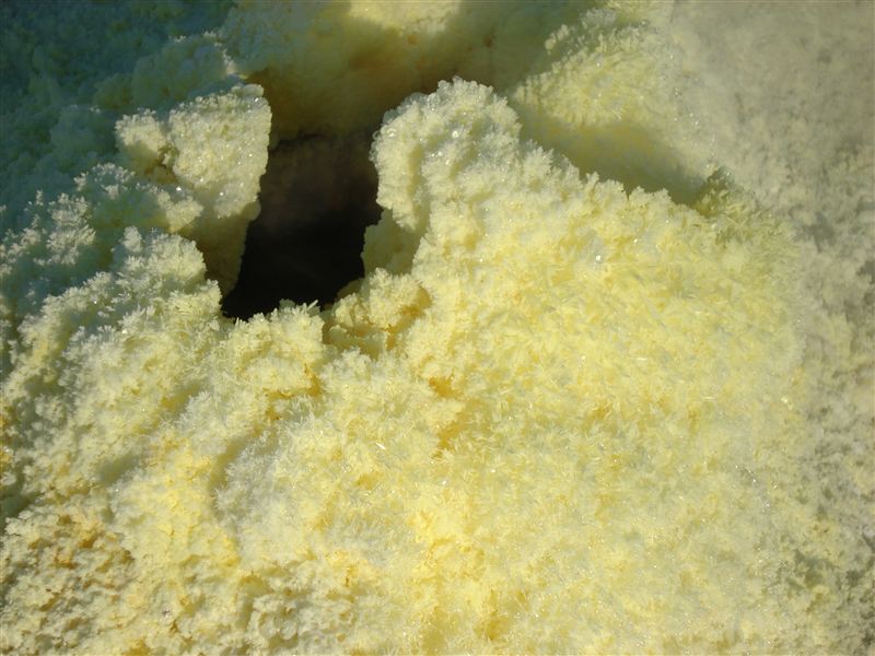
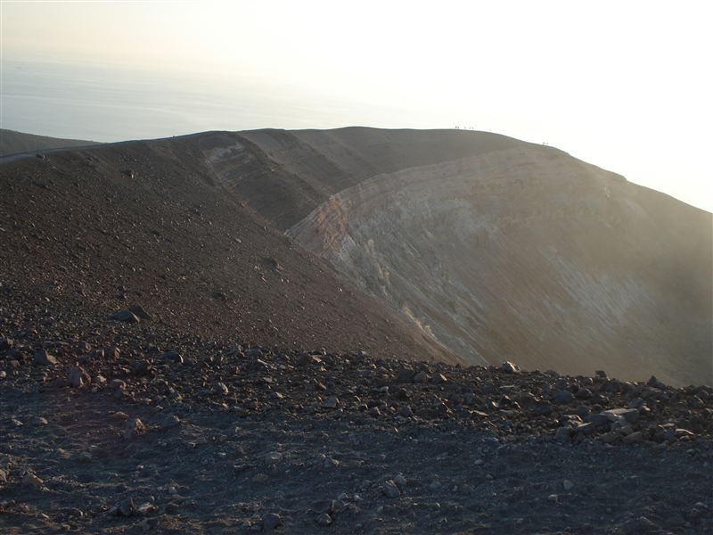
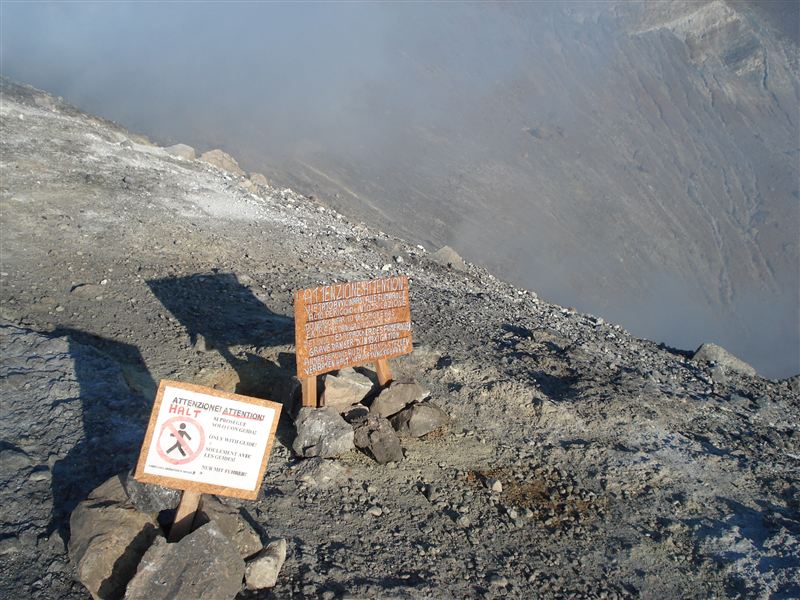
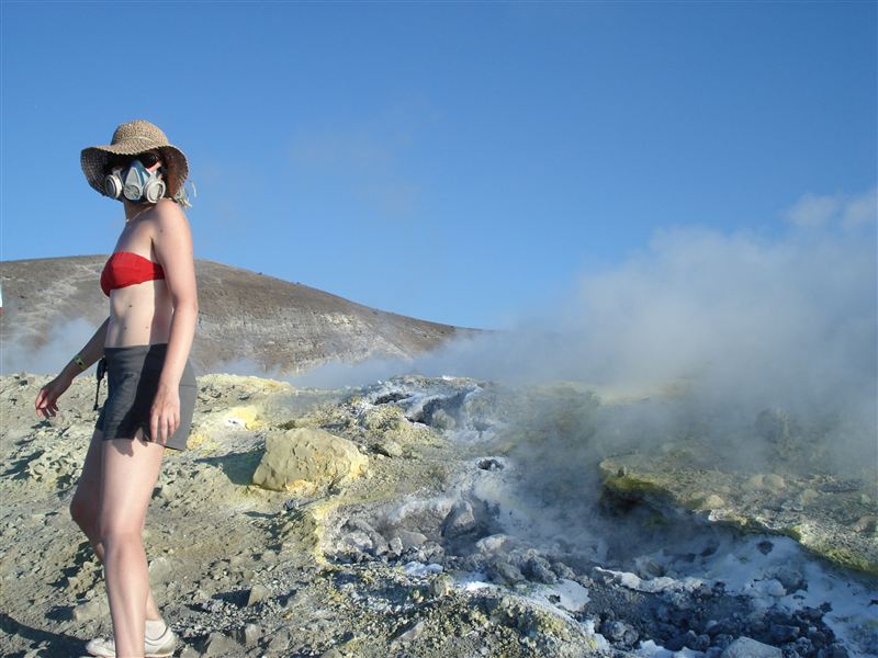
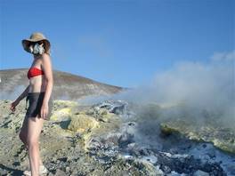
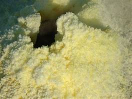
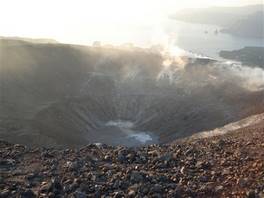
Let's talk now about the beauties of nature. Once you get to the top you can see the inside of the crater and there are signs that forbid the access to the gas crater zone unless you are with a guide. We have read in some websites that people have been walking through them with just a tissue soaked in water to cover their nose. We strongly recommend NOT to do so. The gas craters emit toxic gases at very high temperature, and the wind conditions can change their directions and put you in difficult situations. The guide gave us gas masks and led us through this part of the path. What we can see is simply fantastic. The gases come out from these fractures along the crater, a small part of them become solid and form differently coloured minerals: white (for the ammonium based gases) and yellow (for the sulphur based gases).

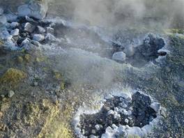
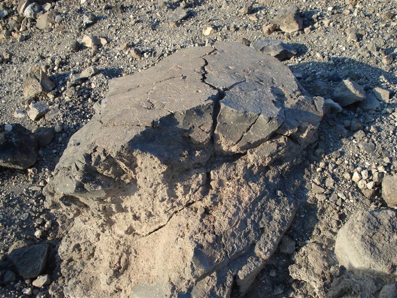
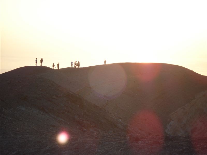
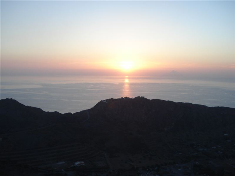
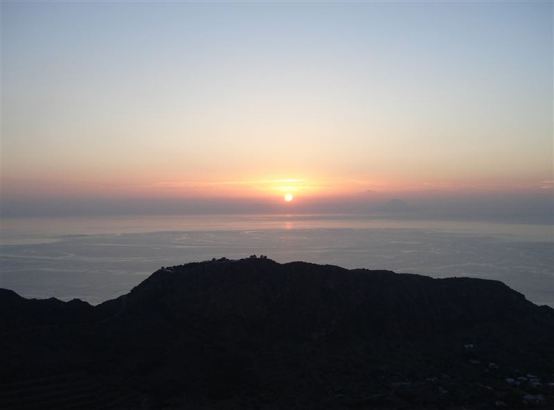
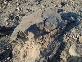
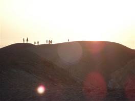
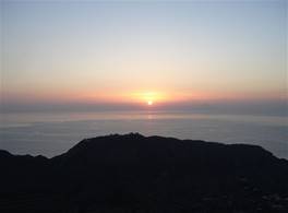
The gas craters have their own life cycle: they begin, they emit gases, they create minerals and then they slowly get smaller until their activity ceases. By the colours of the surrounding minerals, our guide is able to estimate for how long each gas crater has been active. You can find more pictures in the photo section and you can download them together with the GPS track in the section dedicated to the registered users. Once we get out of the gas crater zone we encounter another characteristic formation of volcano: the so-called "bread crust bombs". They are solidified lava fragments, with a smooth surface (that rapidly cooled) and porous inside (that slowly cooled). All together a bomb's section looks like a bread roll. It is an incredibly light material, very similar to a pumice stone. Our tour is almost finished now. We have a look at the inside of the crater, where it is possible to identify the single cones left by ancient eruptions and we continue along the side of the volcano until the end of the excursion. The sunset lights are the companions of the last excursionists going up at this time of the day to avoid the heat and to get a glimpse of the sunset on the sea . Many thanks to our guide for the fantastic excursion, Dario. He waited for us to arrive (the ferries are not really punctual in high season) and he answered with great professionalism all of our questions.

Difficulty: medium-low
Difference in height: 350 m
Maximum height: 420 m
Length: 3,5 km
Duration of journey: 2 hours
Suggested season: all seasons
Technical equipment