Do you need help to arrange your travel? Contact us!!!
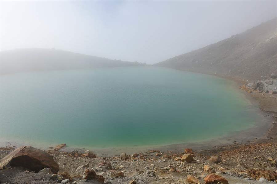
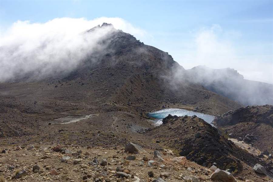
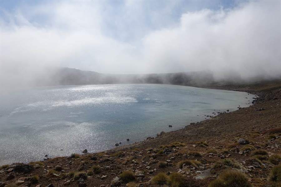
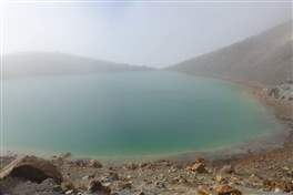
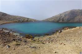
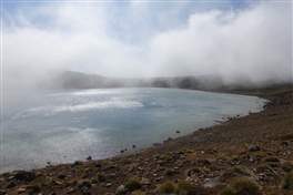
The Tongariro Crossing is said to be the most beautiful day hike of the whole New Zealand. These are indeed fairy tales scenarios, volcanic plateaus containing lakes in green and blue colors, impressive craters used as movie sets for the Lord of the Rings.
The best way to face the hike is to book a shuttle service, they will drop-off you at the starting point and then pick-up at the end. If you are looking for a cheaper solution, you can leave the car at Mantegapopo, walk half the trail to the Blue Lake and then come back. Kep in mind that last section of the road is not paved and rental car insurance does not usually provide coverage in such a case.
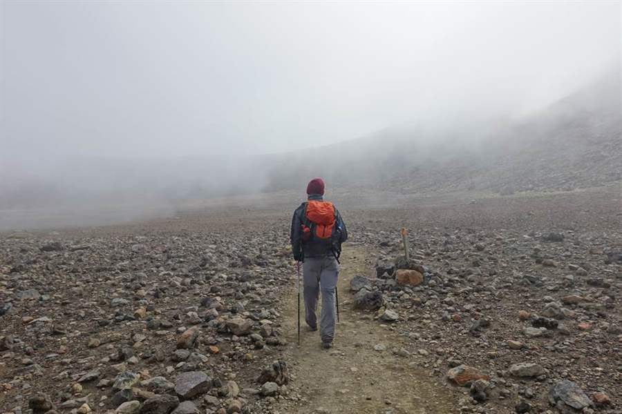
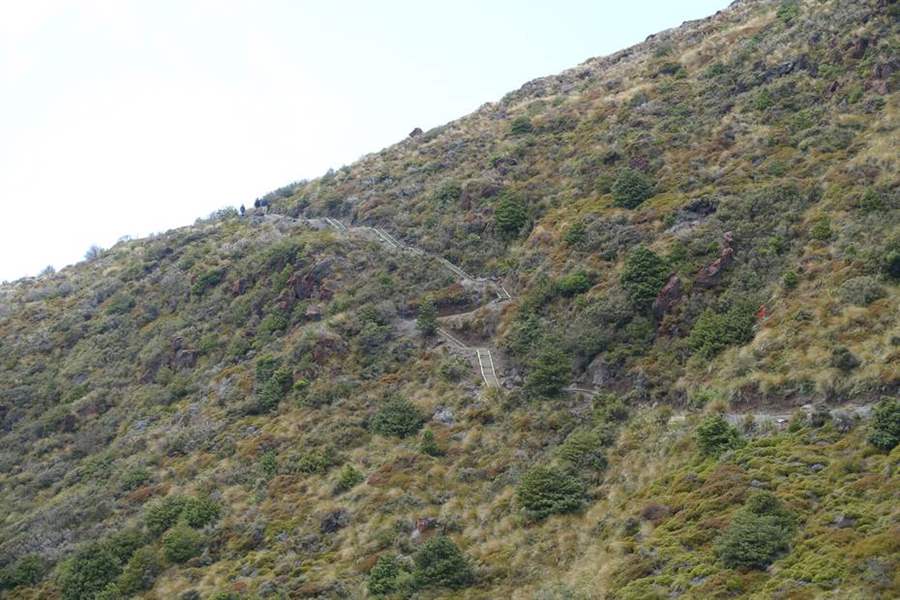
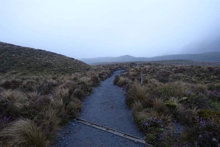
The hike itself is not so challenging, about 20 km, less than 1000 meters ascending difference in height, some difficulties may arise from the extremely unstable weather. These mountains are very close to the sea, we turned around them for 3 days and we always found rain and clouds. Local people told us that this is the standard weather here.
To make it short: it is a path that generates many expectations, often turning into big disappointments. If you want good chances to enjoy the Crossing in a sunny day, you should arrange a flexible travel plan so that you can spend a few days in the surroundings waiting for the right moment.
Last but not least: nobody sells anything along the path, you must bring everything you need with you (water, food and so on).
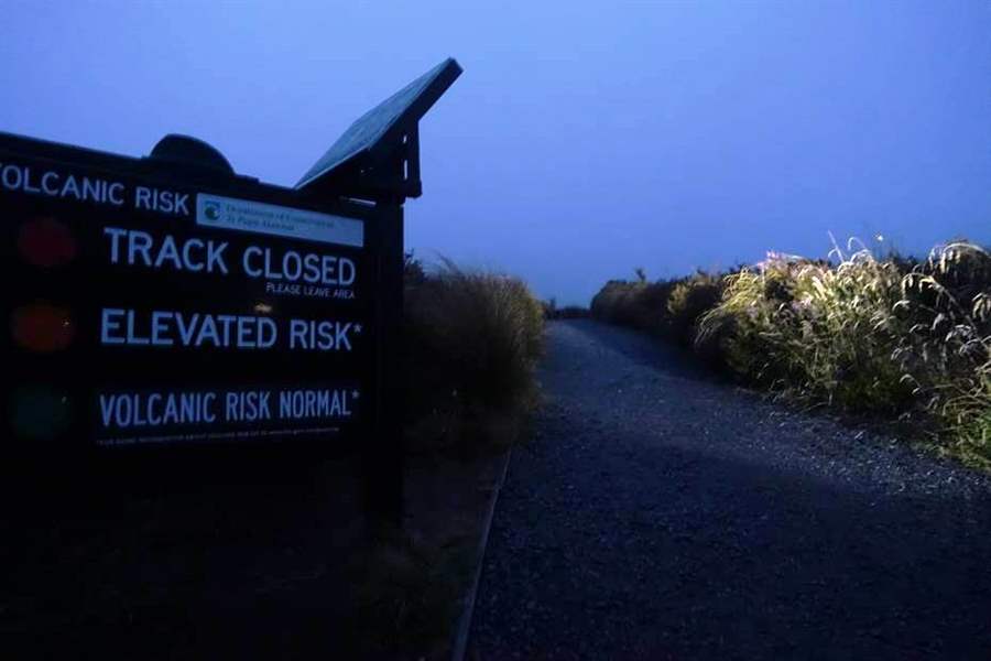
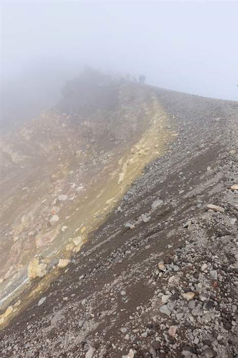
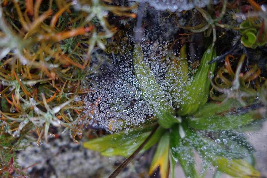
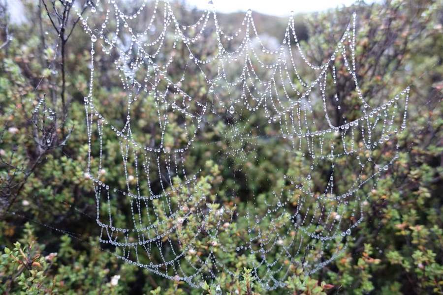
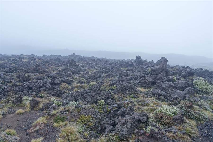
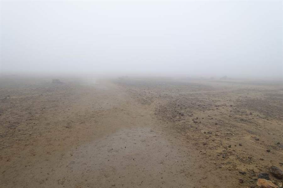
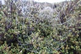
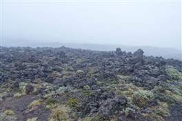
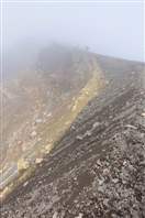
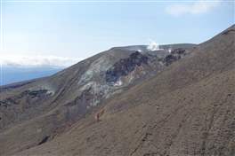
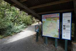
Short description of the hike: we left at the sunrise from Mantegapopo, an electronic sign tells the volcanic activity level. Hikers can proceed only with green light. Unfortunately, we are surrounded by fog and rain, we can try to take some artistic picture but the weather is very unpleasant. Both polished lava stones and old lava flows reminds us some paths on Mount Etna.

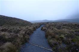
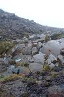
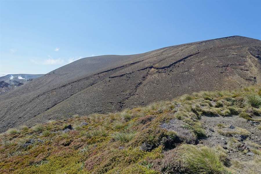
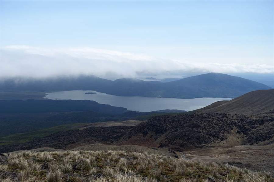
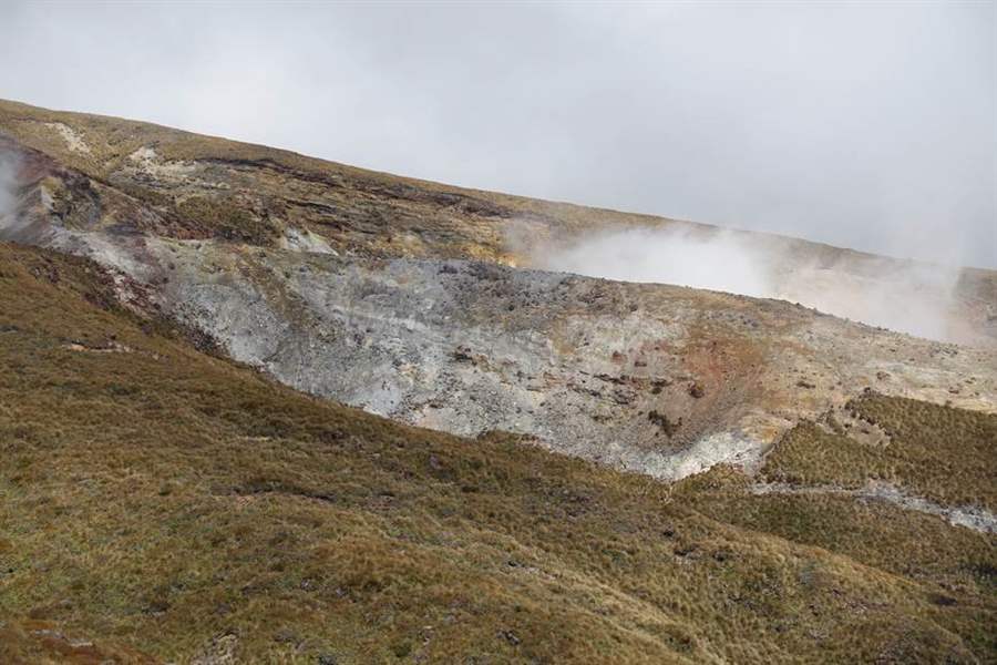
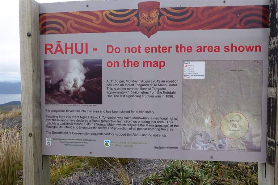
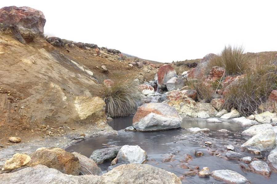
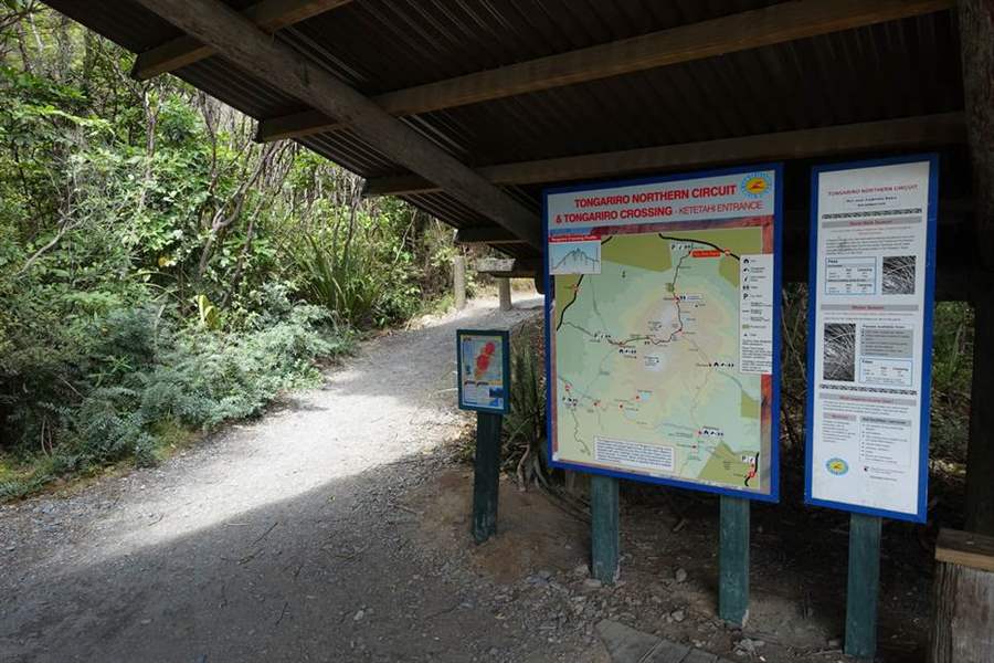
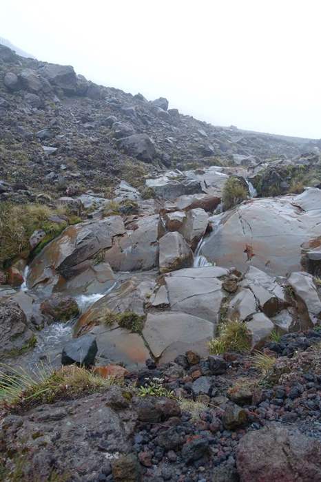
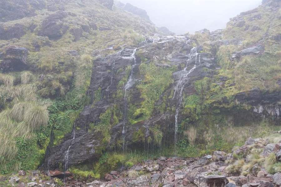
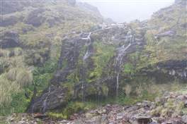
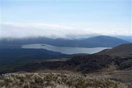
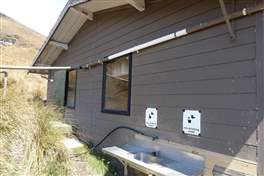
There is a short detour to the Soda Spring Waterfalls, then we start the ascending part of the hike, with strong wind, rain and fog. The fog clears a bit just before the Emerald Lake and the Blue Lake, just a few glimpses that increase regret for the bad weather. We are now over half the route, that passes next to the Rahui Crater, where last eruption happened. From here is possible to look at the Rotoaira and Taupo lakes. Along the descent we pass through the Ketetahi refuge, just a hut with toilets.
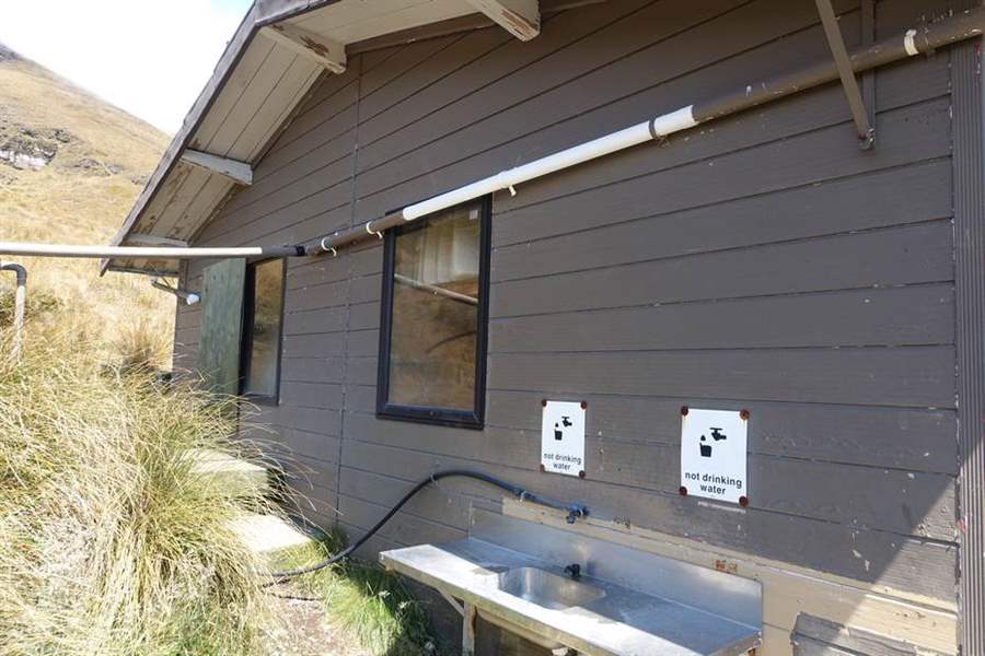
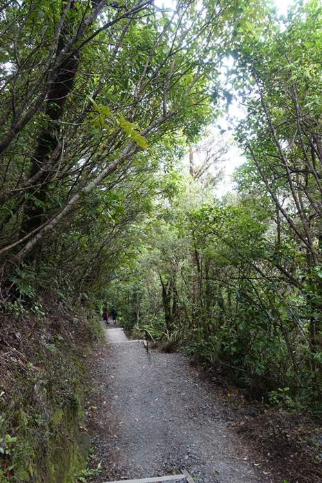
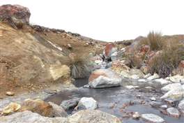
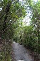
In the long descent to the valley we point ouu other areas with volcanic activity, a few streams and finally the last section inside the wood, before we can have some rest at Ketetahi, waiting for our shuttle.

More info:
- http://www.doc.govt.nz/parks-and-recreation/places-to-go/central-north-island/places/tongariro-national-park/things-to-do/tracks/tongariro-alpine-crossing/
- http://www.tongarirocrossing.com/ (shuttle service with car park)
- http://www.discovery.net.nz/ - our choice to sleep next to Tongariro Crossing. They claim to bring you at the startin point in the morning before any other similar service
Point of interest: Emerald Lakes, Blue Lakes, Mt Ngauruhoe, Red crater, Ruahui crater, panorama mt. Ruapehu
Difficulty: high
Difference in height: 800 ascent, 1100 descent
Maximum height: 1850 m
Length: 19.5 km
Duration of journey: 6-10 hours
Suggested season: Summer
Technical equipment : Required
Difficulty: high
Difference in height: 800 ascent, 1100 descent
Maximum height: 1850 m
Length: 19.5 km
Duration of journey: 6-10 hours
Suggested season: Summer
Technical equipment